
Launched in June 2026, the Leica RTC series is one terrestrial scanning platform in three performance levels. It combines the speed and versatility of the RTC360 with the robustness and accuracy of the ScanStation P-Series. Because all three models share one platform, a team can move up a tier as projects grow without replacing its system.
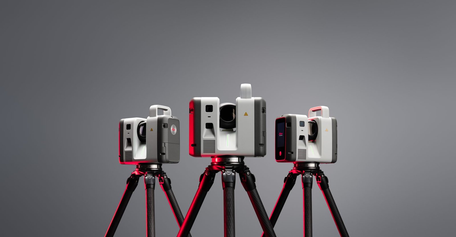
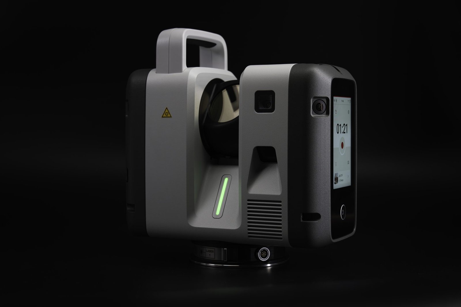
RTC300
Up to 1 million points per second, with a range to 85 m — a practical entry point for construction, BIM, and general surveying.
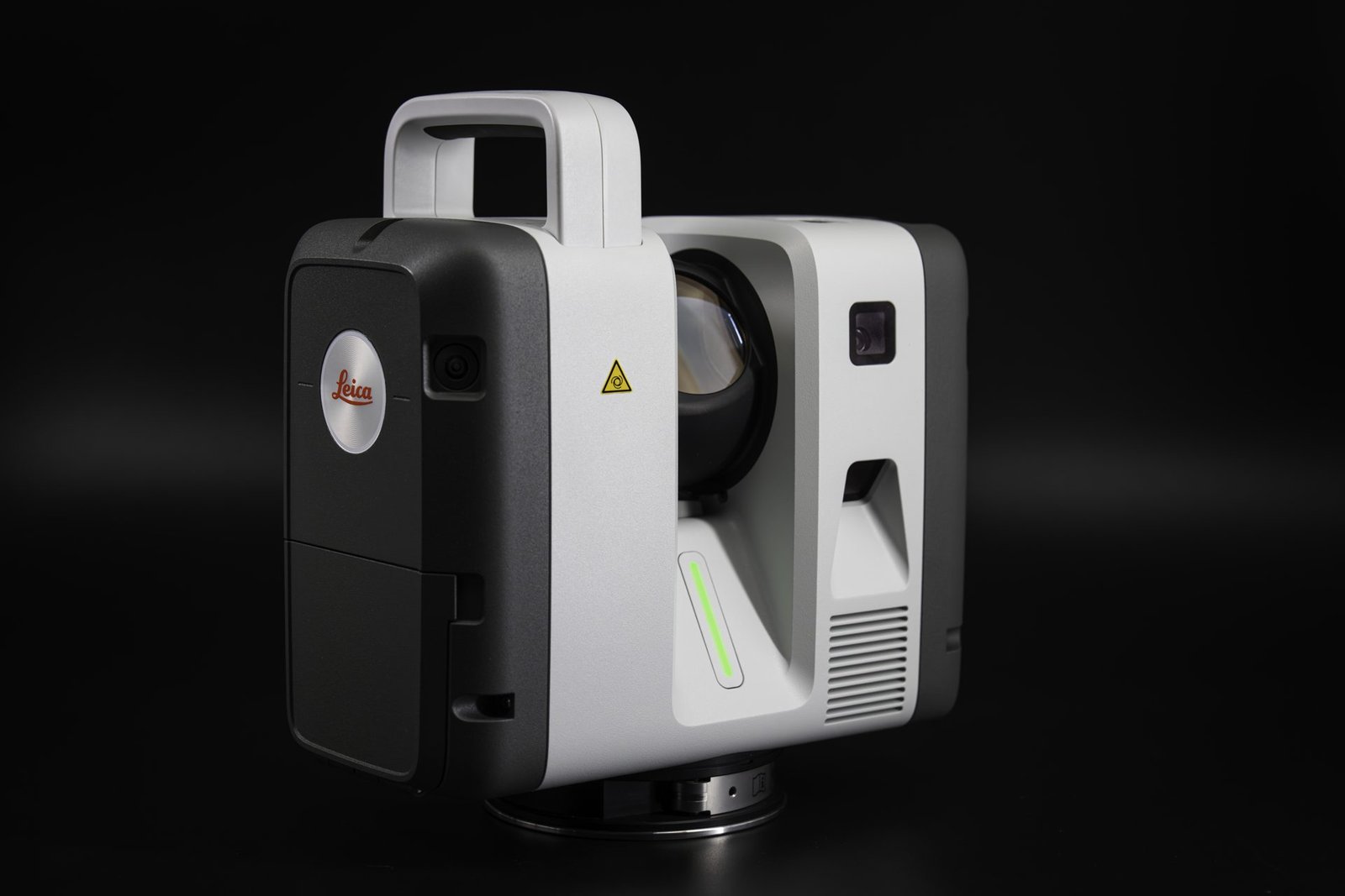
RTC500
Up to 2 million points per second, with a range to 130 m, for surveying, construction, public safety, and fast-changing infrastructure.
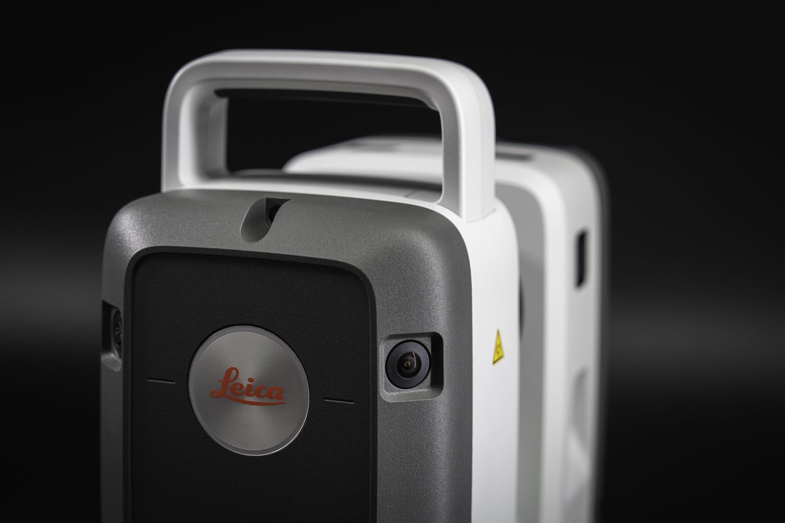
RTC700
Up to 2 million points per second, with a range to 270 m, an exclusive high-detail Area Scan mode, and a full on-board surveying suite (setup over a known point, backsight, resection, traverse) — for large infrastructure, industrial plants, and complex surveying.
Compare the range
Side-by-side specifications for the full Leica terrestrial laser scanner range, plus the RTC Series flyer.
From field to office
Data streams from the field to the office with Cyclone FIELD 360 and Hexagon GeoCloud (Livelink) as it is captured.
Own an RTC360 or a ScanStation P-Series? Ask us about upgrading to the new RTC series.
Not ready to upgrade? We’ll keep supporting the scanner you already own.
Capture
Multiple scanners working as one.
Connect
Live data flowing from field to office.
Collaborate
Decisions supported while work is still happening.
It’s not just about speed. It’s about clarity, control, and confidence — even as complexity grows.
Questions or a quote? Call (623) 278-SCAN (7226) or contact us.